|
| *****SWAAG_ID***** | 822 |
| Date Entered | 27/07/2014 |
| Updated on | 11/03/2015 |
| Recorded by | Doug Waugh |
| Category | Coaxial Field Systems |
| Record Type | Archaeology |
| SWAAG Site | Ellerton Moor |
| Site Access | Public Access Land |
| Record Date | 24/07/2014 |
| Location | Rectangular enclosed area on the plateau |
| Civil Parish | Ellerton Abbey |
| Brit. National Grid | SE 06098 96726 |
| Altitude | 330 |
| Record Name | Large enclosure with additional items |
| Record Description | On the plateau of Ellerton Moor (height between 322 and 335 metres) this is a large, roughly rectangular, area bordered by a low mound with some visible, mainly large, stones. The mounds rarely extend beyond 2mtrs in width, normally a metre, and the occasional stone is often large and always single layer. The NE corner is very close to a standing stone (see record 821). The NW corner has a continuation to the NE (see the plan below).
This record is to ensure the evidence that is visible, with much of the heather either burned or very young, is preserved. |
| Dimensions | 95 x 60 metres |
| Image 1 ID | 6088 Click image to enlarge |
| Image 1 Description | A simple plan of the site giving approximate lengths and the heights of the corners and the pile of stones. Note that between the SE and NE corners there is an elbow that helps the side of the enclosure avoid marshy ground. | 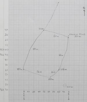 |
| Image 2 ID | 6089 Click image to enlarge |
| Image 2 Description | This is a view of the NE corner looking at the Standing Stone (record 821). This corner is at SE 06098 96726 | 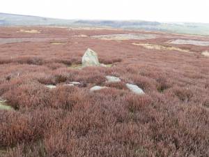 |
| Image 3 ID | 6090 Click image to enlarge |
| Image 3 Description | This is the view from the NE corner towards the W | 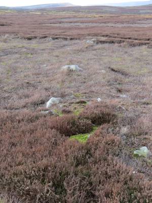 |
| Image 4 ID | 6091 Click image to enlarge |
| Image 4 Description | This is the view from the NW corner (SE 06049 96739) looking S | 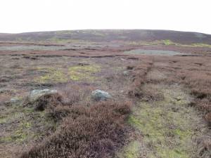 |
| Image 5 ID | 6092 Click image to enlarge |
| Image 5 Description | This is the view from the SW corner (SE 06010 96661)looking to the E | 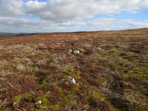 |
| Image 6 ID | 6093 Click image to enlarge |
| Image 6 Description | This is the view from the SE (SE 06063 96646) corner looking to the N, which does include the elbow (SE 06080 96661) noted earlier. The marshy area can be seen to the E and it is that which necessitates the elbow. However it is reasonable to ask why, especially as the "wall" has a considerable curve from the elbow to the NE corner, the "wall" did not run straight from the SE corner to NE corner. | 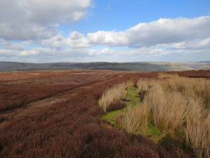 |
| Image 7 ID | 6095 Click image to enlarge |
| Image 7 Description | This is a pile of stones (SE 06092 96629) that is across the marshy area from the SE corner and is shown on the plan. | 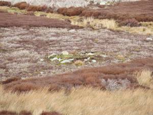 |
| Image 8 ID | 6094 Click image to enlarge |
| Image 8 Description | This view is from the elbow to the N arriving back at the NE corner and the Standing Stone. | 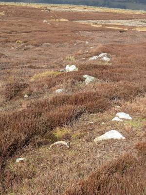 |
| Image 9 ID | 6096 Click image to enlarge |
| Image 9 Description | This is the view from the NE corner of the extension of the W side of the enclosure. It does not appear to join up with any other structure and ends in two large stones. | 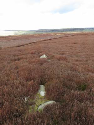 |
| Image 10 ID | 6097 Click image to enlarge |
| Image 10 Description | This is the view from the two large stones mentioned above towards the NE corner. | 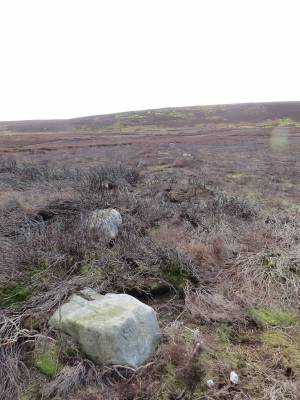 |


